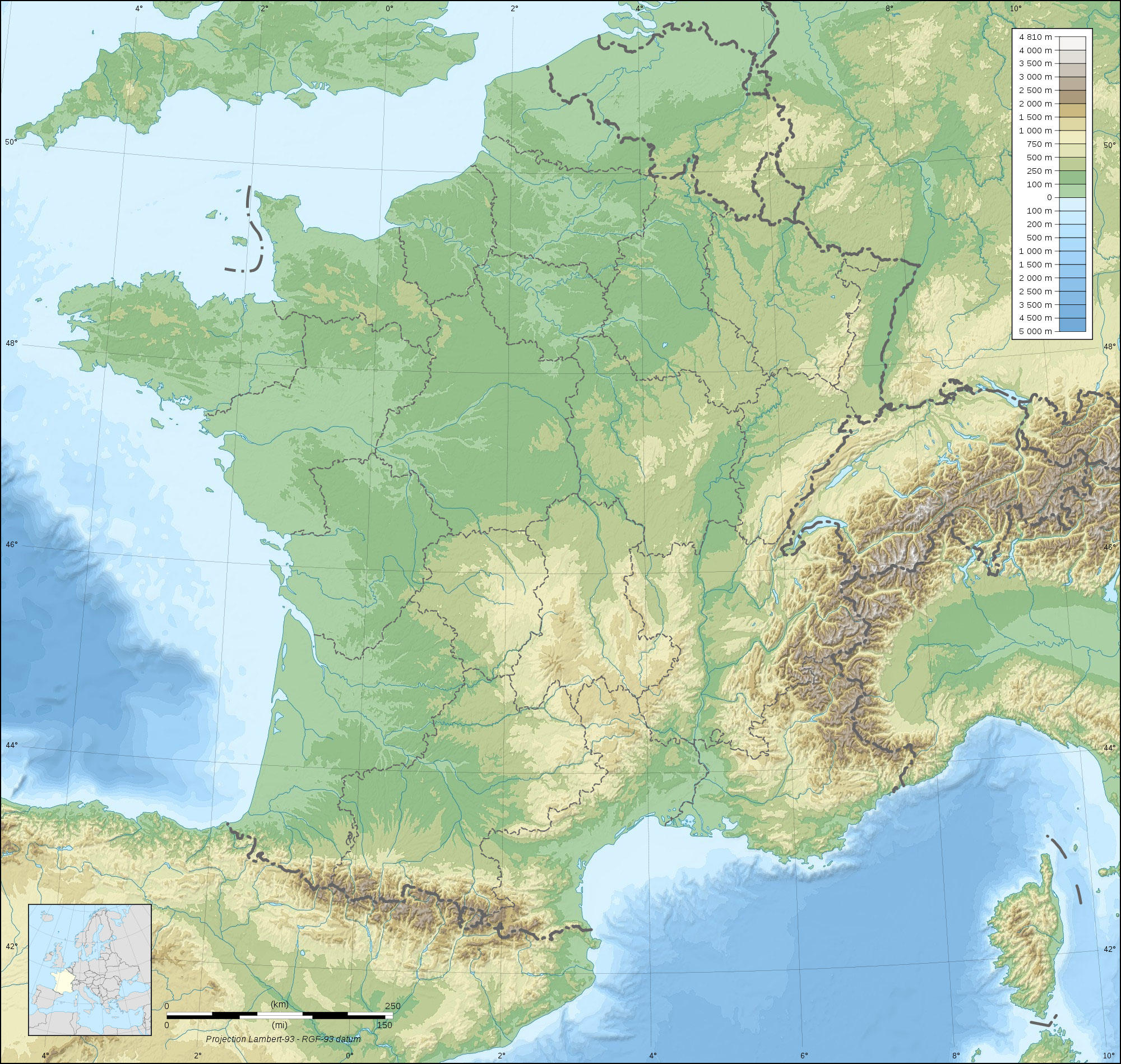
Afbeelding Frankrijk topografisch

Afbeelding Frankrijk topografisch
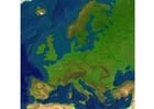
Clipartafbeelding van Frankrijk topografisch met groene en bruine hoogteverschillen en waterlichamen zichtbaar. Gratis te downloaden en te printen.

Categorie: Afbeelding Kaarten > Frankrijk topografisch
Sleutelwoorden: Frankrijk topografisch, Frankrijk, topografisch
Image information
Attribution and Share-Alike required
Any use of this map can be made as long as you credit me (Eric Gaba – Wikimedia Commons user: Sting) as the author and distribute the copies and derivative works under the same license(s) that the one(s) stated below. A message with a reply address would also be greatly appreciated.
Sources of data:
- Topography: NASA SRTM30 (public domain);
- Bathymetry: NGDC ETOPO1 (public domain);
- Additional data: NGDC World Data Bank II (public domain).
Blank topographic map of France in the official Lambert-93 projection, with regions boundaries.
Alle afbeeldingen kunnen worden gebruikt voor particuliere, educatieve en niet-commerciële doeleinden.
Voor al het andere gebruik zie de beeldlicentie en/of gebruiksvoorwaarden.
Neem gerust contact met ons op voor meer informatie.